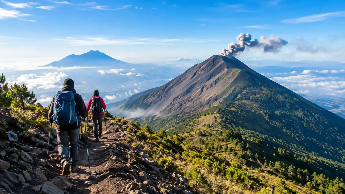
Acatenango Volcano Hike Route Variations Highlights
Explore the full Acatenango volcano hike map, route variations, scenic highlights, and pacing tips for trekking …
Continue Reading →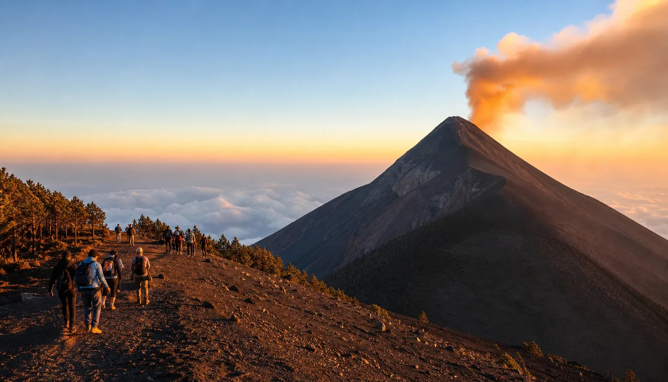
Climb through cloud forests to sleep above the clouds, directly facing the glowing craters of Volcán de Fuego.
Discover what makes acatenango volcano hike unforgettable.
You traverse farmland, moist cloud forest, temperate pine stands, and barren volcanic gravel in under six hours. Every hour brings a sharp change in weather and terrain.
Learn more →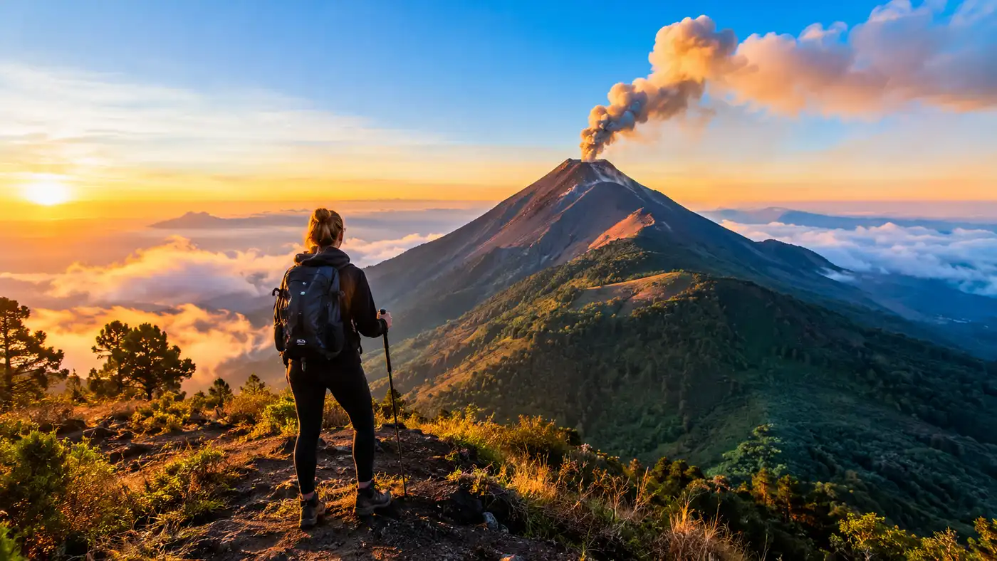
Hikes between November and April offer crisp visibility and dry trails. During these months, nighttime cloud inversions settle deep in the valleys below your tent.
Learn more →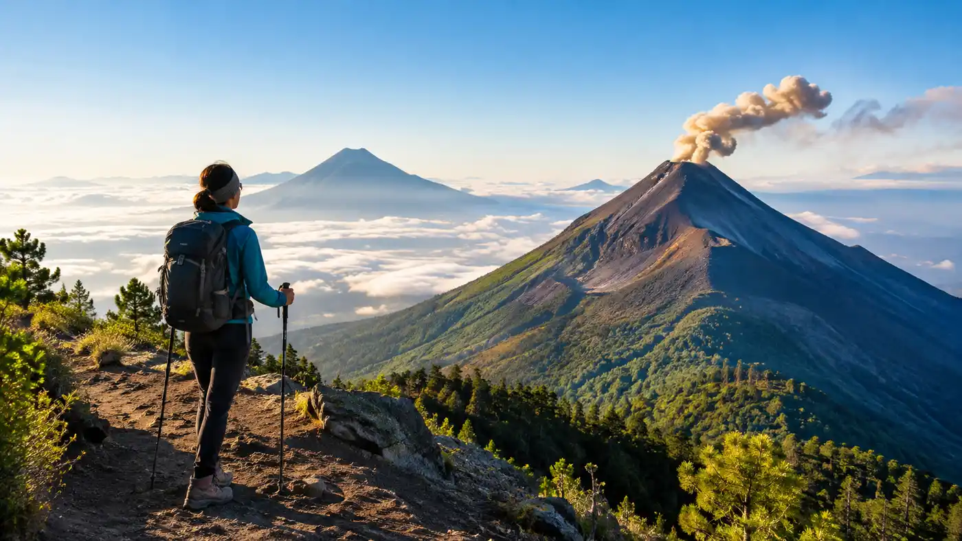
Antigua starts hot, but ridge winds drop below zero Celsius overnight. Carrying a thermal base layer, windproof shell, warm gloves, and sturdy rental poles saves your knees on the descent.
Learn more →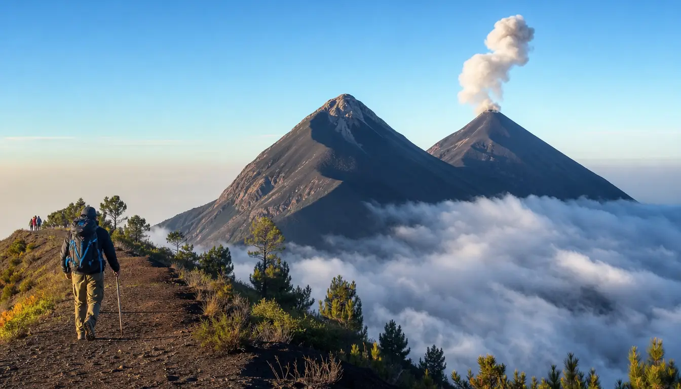
Pacaya is a half-day gentle stroll suitable for young children, while Acatenango is a demanding two-day expedition. Acatenango rewards the hard physical grind with active volcanic explosions at arm's length.
Learn more →What to expect from arrival to departure.
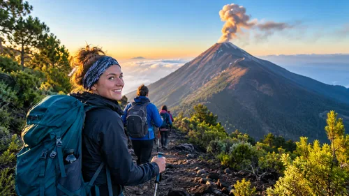
Van pick-ups start early across Antigua hotels, followed by gear check-in and breakfast at the agency office before driving out to La Soledad.
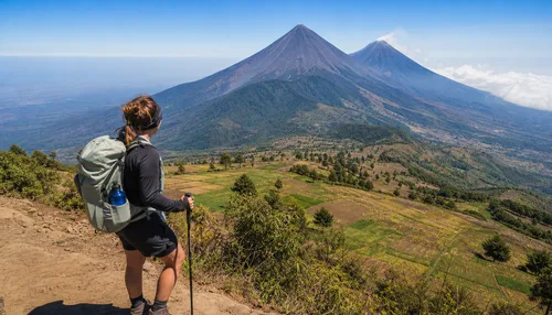
The opening ninety minutes climb through loose dirt bordering potato fields, marking the steepest sustained incline of the whole trek.
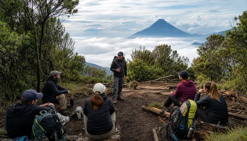
The trail ducks under dripping cypress trees and moss-covered branches, where you stop at rough wooden huts for trail snacks and hot tea.
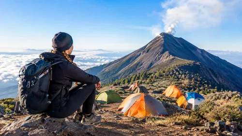
Reach your designated camp area on the ridge between 2:30 PM and 4:00 PM, drop heavy packs, and settle in facing the Fuego ridge.
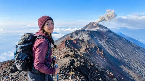
Hikers with spare energy can add the optional 4-hour side trek across the saddle to stand within 500 meters of Fuego's active vent.
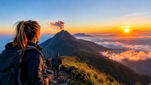
Wake up at 4:15 AM to scramble up loose scree to the 3,976m crater rim for dawn, before packing camp for a rapid three-hour descent back to La Soledad.
Rising above the Panchoy Valley, el volcán Acatenango offers the most dramatic mountain trekking in Central America. The trail starts in dusty cornfields outside the mountain village of La Soledad before cutting steep switchbacks through high cloud forest, pine groves, and alpine scree. It is a demanding ascent that punishes heavy packs, but arriving at base camp late in the afternoon makes every uphill step worthwhile.
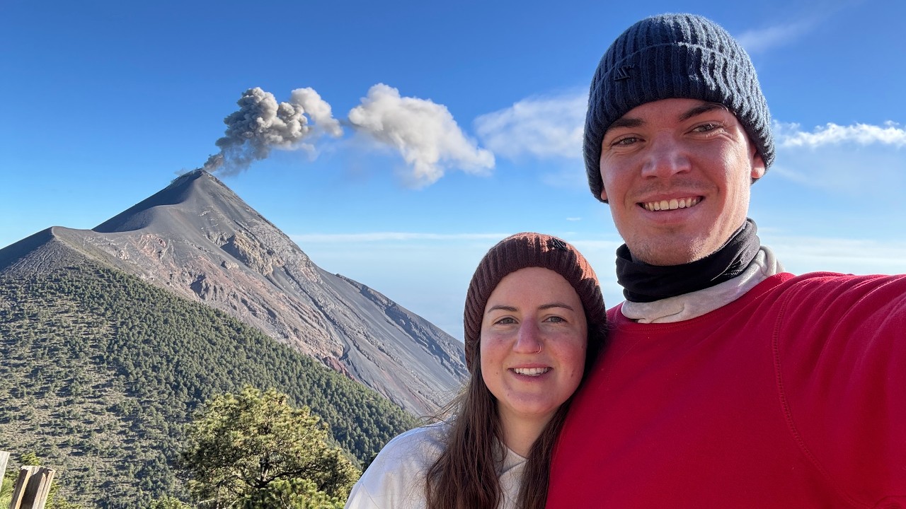
From the ridge campsites, you sit eye-level with Volcán de Fuego, an active neighbor that vents glowing lava, ash plumes, and deep subterranean booms every twenty minutes. An overnight acatenango volcano tour gives you front-row access to this natural fireworks show against the night sky. On clear mornings, you can push toward the summit cone before dawn to watch the sunrise wash across a horizon packed with volcanoes in Guatemala, including Agua and distant Atitlán.
Planning this trek requires honest self-assessment about physical endurance and proper mountain clothing. Temperatures near the peak frequently drop below freezing, and the loose volcanic volcanic sand makes the final push taxing. Whether you organize an acatenango guided hike with a trusted local company or assemble independent logistics out of Antigua Guatemala, having reliable local knowledge makes the difference between an exhausting ordeal and the hike of a lifetime.
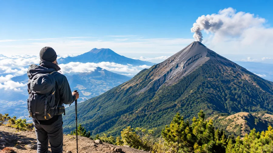
The first two hours through the loose soil were brutal on the calves, but sitting by the campfire watching Fuego shoot red lava every twenty minutes made every drop of sweat worth it.
Rent the walking poles in La Soledad. Going down without them on that loose volcanic sand would have wrecked my knees. The sunrise over Agua was pure magic.
The cold up at 3,600 meters was intense, and the wind shook our tent most of the night. Still an incredible experience, just make sure you rent a proper thermal jacket.
Our guide kept an easy, steady rhythm up the mountain so altitude never hit us badly. Seeing the lava fountains against the dark sky was completely unreal.
Compare options and book directly below.
Includes round-trip shuttle from Antigua, mountain guides, shared base camp tent, sleeping bags, and warm meals cooked on site.
Includes transport, park guides, private insulated timber cabin with real mattresses, elevated volcano viewing decks, and hearty meals.
Flexible departure timing, private shuttle, dedicated cook, private camp area, and custom pacing for photographers or small groups.
Everything you need to know before visiting acatenango volcano hike.
Hours: Open 24 hours daily year-round; guided overnight treks typically depart Antigua between 8:00 AM and 9:00 AM (day hikes depart around 6:00 AM)
| Standard Group Tour (Per person / Shared cabin or tent) | $60 - $85 |
| Upgraded A-Frame Cabin Tour (Per person / Fixed structure) | $110 - $145 |
| Private Expedition (Custom group / Private guide) | $220 - $310 |
📍 Aldea La Soledad, Acatenango, Chimaltenango, Guatemala
See it before you go.
Worth combining with your acatenango volcano hike visit.
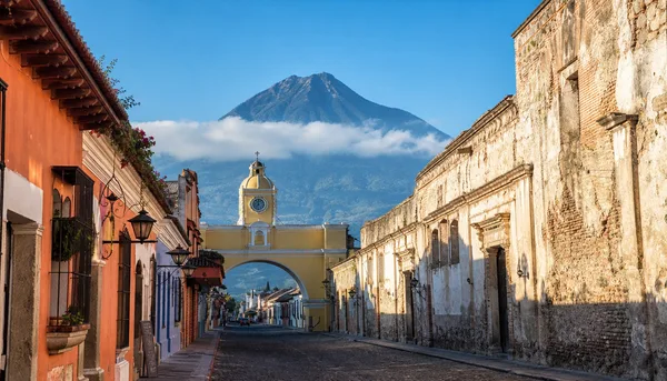
A preserved colonial city with cobblestone avenues, specialty coffee roasters, and the staging ground for almost all volcano treks.
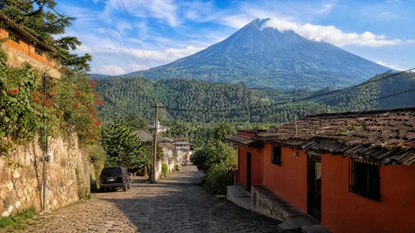
A quiet mountain village famous for artisanal chocolate shops and loquat fruit wine tasting rooms.
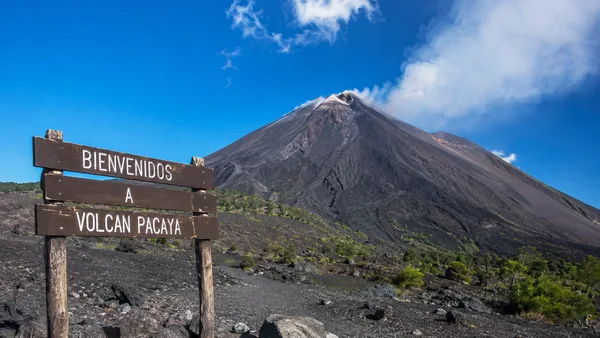
A lower, milder volcano hike where visitors walk on dried lava fields and toast marshmallows over geothermal vents.
Acatenango Volcano Hike welcomes all visitors with accessibility features and family-friendly amenities.
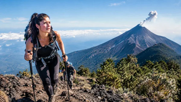
This trek is steep, rocky, and unpaved. It requires good aerobic fitness and is not accessible for wheelchairs or strollers.
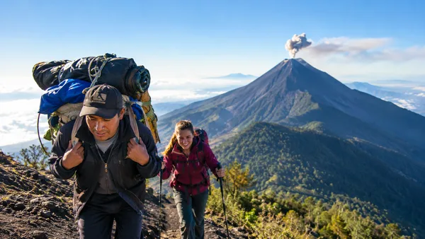
Independent horse and porter hire is available at the trailhead to carry heavy packs up to base camp for around 200 GTQ each way.
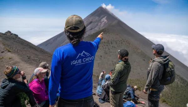
Standard operator groups include local Spanish-speaking guides alongside English-fluent guides to assist with pacing and safety.
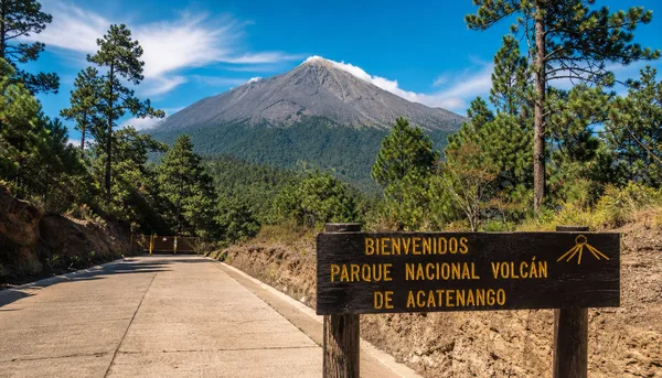
Standard passenger vans and private taxis reach the La Soledad trail registry office without requiring a 4x4 off-road vehicle.
Dive deeper into acatenango volcano hike.
Explore the full Acatenango volcano hike map, route variations, scenic highlights, and pacing tips for trekking …
Continue Reading →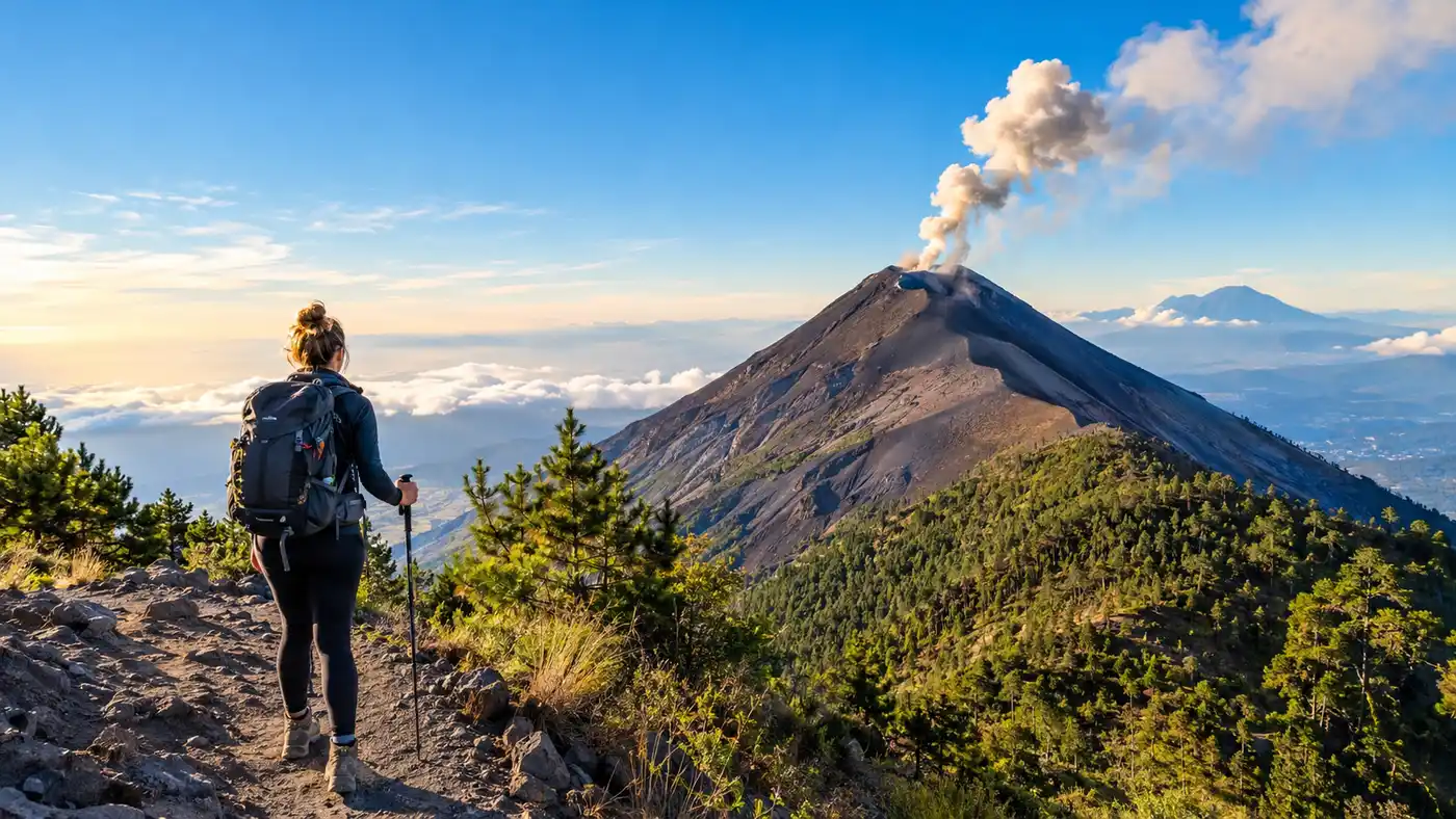
Wondering how hard is acatenango hike? Get an honest breakdown of elevation gain, distance, trail zones, and Fuego's …
Continue Reading →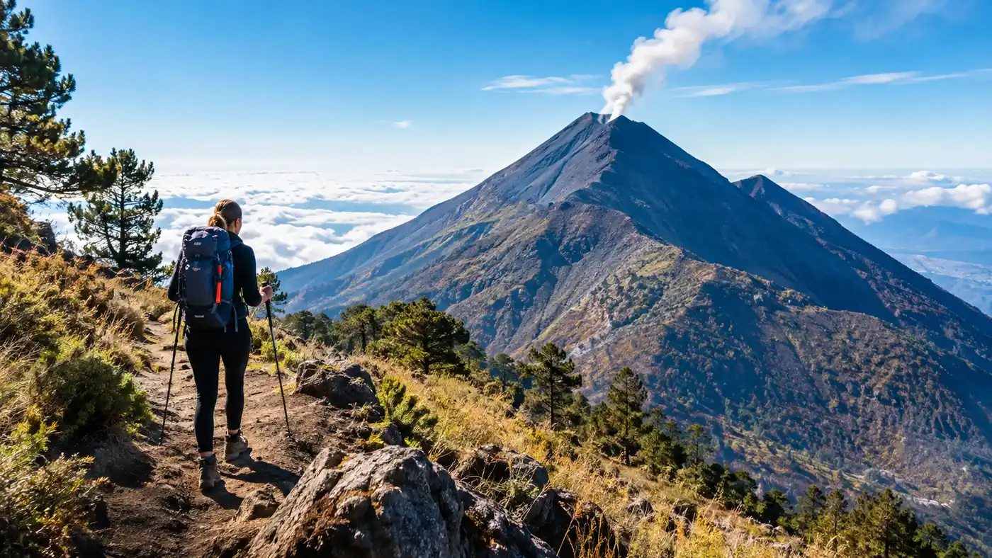
Explore the full Acatenango hike map, trailhead starting points, distances, and elevation profiles for an unforgettable …
Continue Reading →
Compare the best company for acatenango hike options in Guatemala. Honest reviews on cabins, budget operators, gear …
Continue Reading →
Discover the best time to visit Acatenango volcano. Detailed breakdown of dry vs wet seasons, weather by month, summit …
Continue Reading →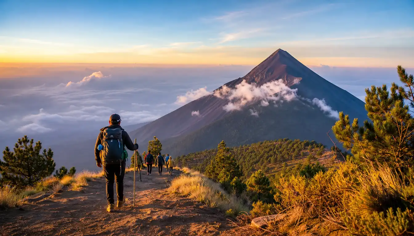
Avoid brutal errors on the trail with our common mistakes tips for acatenango volcano hikers. Learn what gear, water, …
Continue Reading →
Pacaya vs Acatenango: an honest comparison of hike difficulty, elevation, terrain, and views to help you choose the …
Continue Reading →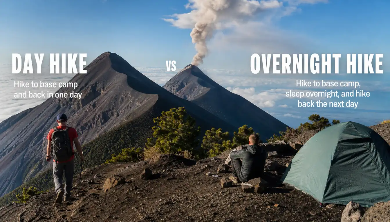
Day hike or overnight on Acatenango? Compare physical demands, costs, trail timings, and volcano views to pick the best …
Continue Reading →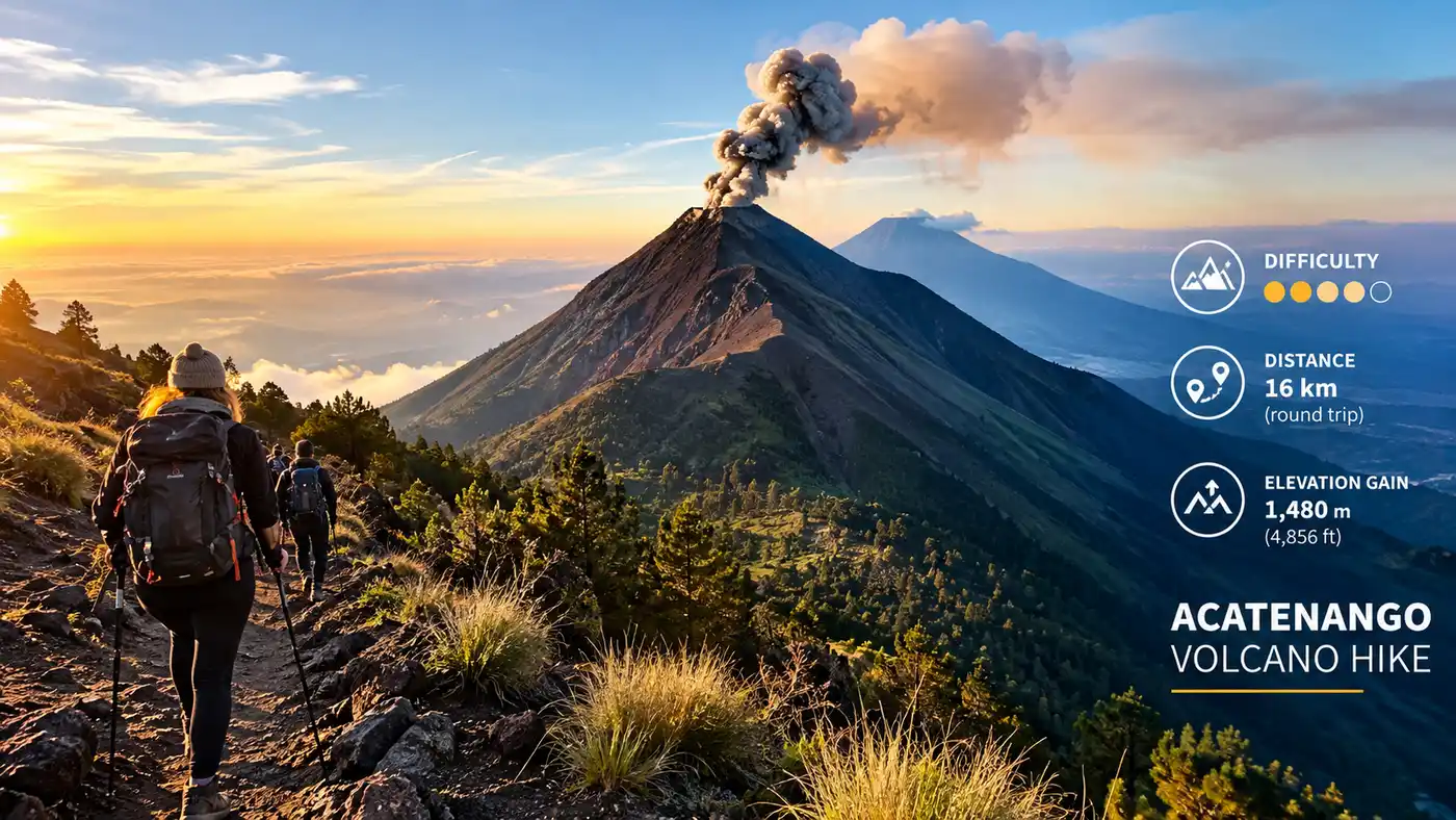
Master the Acatenango hike elevation gain, trail distance, and summit height. Real numbers, route difficulty, and …
Continue Reading →Common questions about acatenango volcano hike.
It is physically demanding. You climb over 1,600 vertical meters across six hours with a backpack, reaching an altitude where oxygen levels are noticeably thin. Anyone with good baseline endurance can finish it, but you should expect sore thighs, calves, and knees.
El macizo del volcán se ubica en el límite territorial entre dos departamentos: Chimaltenango y Sacatepéquez. La ruta de ascenso más transitada comienza en el caserío La Soledad, dentro del municipio de Acatenango.
Acatenango es un volcán inactivo cuya última erupción freática menor ocurrió en diciembre de 1972. Sin embargo, se encuentra unido por un collado al volcán de Fuego, que es un volcan activo de Guatemala con explosiones constantes de ceniza y lava visible desde los campamentos.
Budget group excursions run between $60 and $85, while premium cabin operators cost around $120 to $150. In addition, you must pay the municipal park entry fee of 100 GTQ in cash at the registration post in La Soledad.
During the peak dry season from December to March, the most reputable operators with insulated wooden cabins book out two to three weeks in advance. Budget tent operators can usually accommodate bookings two days beforehand in Antigua.
Facilities are basic pit latrines at trail rest stops and base camps. There is no running water on the mountain, so bring your own toilet paper, wet wipes, and hand sanitizer.
Base camp rests at roughly 3,600 meters, where overnight temperatures hover between -2°C and 4°C (28°F to 39°F). Strong winds make it feel substantially colder, so a fleece, down jacket, beanie, and gloves are non-negotiable.
Due to the sustained incline and altitude sickness risks, this hike is not recommended for children under twelve or travelers with cardiovascular conditions. Pacaya is a far better alternative for family groups seeking a volcano experience.
Explore route profiles, compare local guides, and pack the right gear for an unforgettable night on the ridge.