Acatenango Volcano Hiking Routes Starting Points
Most travelers look at an acatenango hike map and assume there is only one narrow trail winding up into the clouds. The reality on the ground feels messier. You will hear different village names thrown around in coffee shops in Antigua, whispers of alternate 4x4 tracks, and confusing trail markers on apps like AllTrails. If you are standing in a hostel lobby trying to trace the lines with your finger, you quickly realize that the mountain has several approaches, even if ninety percent of tour groups funnel through a single dusty gate.
The climb is famous for its punishing verticality and the front-row seat it gives you to Volcán de Fuego blowing glowing red rocks into the freezing night sky. Whether you are trekking independently or signing up with a guided outfit, knowing where your boots hit the dirt changes how your entire two days play out. From trailhead logistics to elevation profiles, getting the route sorted before you toss your pack into an old shuttle van makes all the difference.
Book your acatenango volcano hike experience:
Reading the Acatenango Hike Map: Main Routes and Approaches
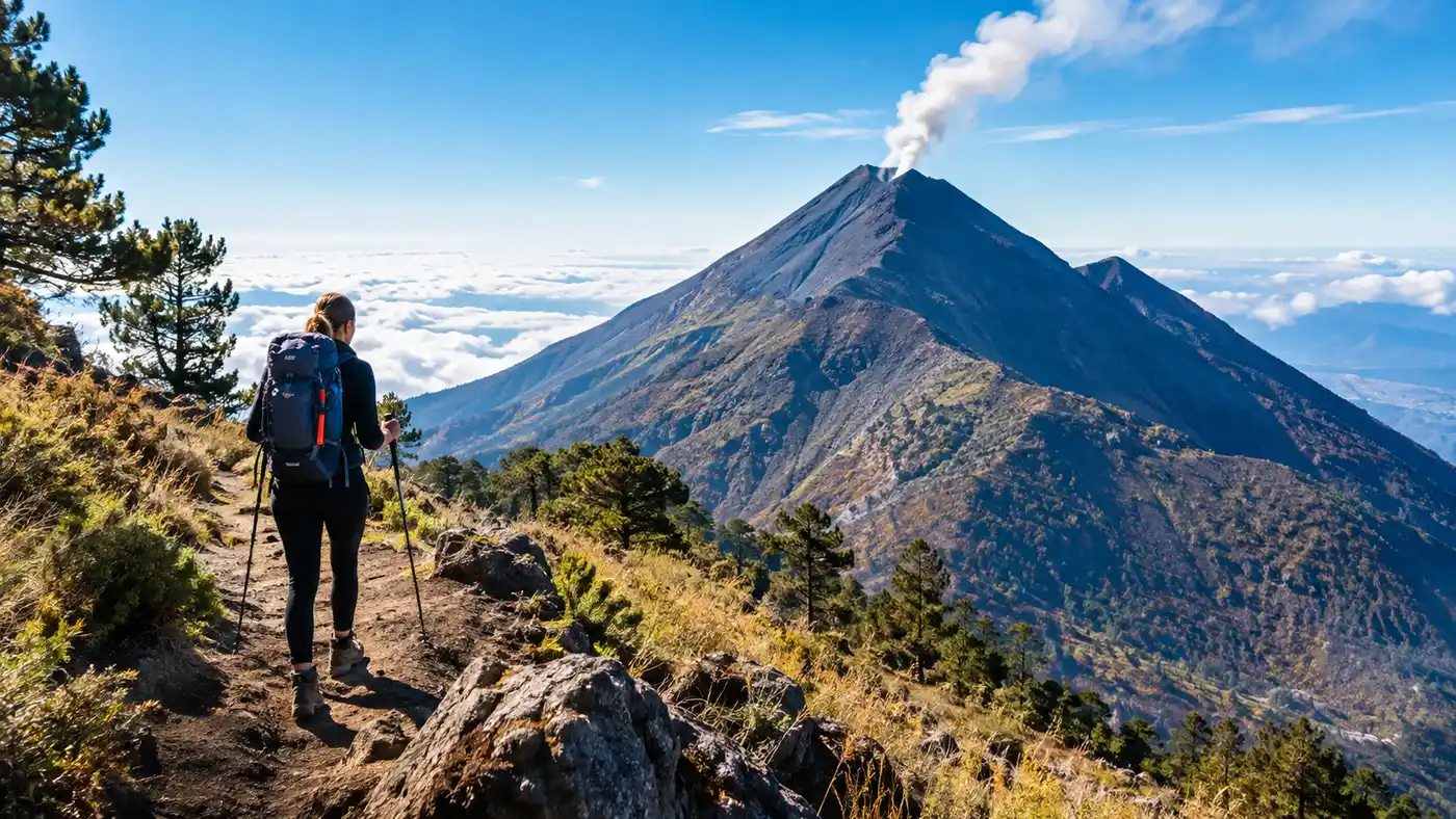
When you look closely at an acatenango volcano hike map, the mountain shows its volcanic geometry clearly. The giant stratovolcano sits connected to Fuego by a high ridge called La Horqueta. Most maps outline the classic western approach starting near the hamlet of La Soledad. It is steep from step one.
People often search for the trail under strange variations like acetanango, acatengo, or even acetango when looking up GPS coordinates on their phones. Do not let the spelling throw you off. The standard acatenango hike route starts around 2,400 meters above sea level and cuts through cornfields before entering dense, cool cloud forest. There is a second, far less common approach from the south through San José Calderas. It is longer, gentler in spots, but requires navigating private land and overgrown paths where you will almost certainly need a local guide who knows the farm boundaries.
The choice between these paths shapes your entire acatenango volcano hike. The La Soledad path gives you water stops, gear rental stalls, and established paths that have been stomped smooth by thousands of hiking boots. The southern routes offer silence, though you trade away the safety net of established base camps.
| Route Name | Trailhead Location | Starting Elevation | One-Way Distance | Average Time to Camp |
|---|---|---|---|---|
| La Soledad Classic | Aldea La Soledad | 2,415 meters | 7.8 km (4.8 miles) | 5 to 6 hours |
| San José Calderas | Calderas trail junction | 2,150 meters | 11.2 km (7.0 miles) | 7 to 8 hours |
| El Manzanillo (East) | Near San Miguel Dueñas | 2,050 meters | 12.5 km (7.8 miles) | 8 to 9 hours |
| 4x4 Upper Access Cut | Private farm track, Soledad | 2,950 meters | 4.5 km (2.8 miles) | 3 to 4 hours |
A few luxury tour operators use private 4x4 roads that cut out the lower agricultural dust bath completely. It cuts off about two hours of pure slog, though some purists think skipping that lower forest is cheating the true experience of the volcano.
Where Does It Start From? Trailheads and Practical Logistics
The question every beginner asks in Antigua is straightforward: where does it start from? The trailhead sits in the small farming village of La Soledad, about 31 kilometers southwest of Antigua. The drive takes anywhere from 45 minutes to an hour and a half depending on the morning traffic leaving town and how heavily loaded the microbus happens to be on the switchback climbs.
When you pull up to the starting area, it does not look like a national park entrance. You spill out onto a dirt clearing surrounded by wooden shacks, barking dogs, and local women selling wooden walking sticks for 5 or 10 quetzales. Take the walking stick. Honestly, even if you brought fancy trekking poles, an extra wooden staff has saved more than one twisted ankle in the slick volcanic mud. You can check the difficulty, distance, and elevation gain details before committing to your packing list so you know what you are carrying up this initial slope.
Pro tip: Buy two wooden sticks at the parking area for around 10 quetzales each if you forgot your poles, and pay the local kids another 5 quetzales to hold your extra trash bags on the descent.
Navigating the entrance requires passing the official registration kiosk where park rangers collect your entrance fee. From the gate, you immediately hit steep cornfields where the soil is loose gray sand. It feels like walking up a sand dune that someone tipped on a forty-degree angle.
- Transport from Antigua: shared shuttles leave daily between 7:30 AM and 9:00 AM from central accommodations.
- Park registration: the main office is right beside the public parking lot where you pay the 50 quetzal fee for foreigners.
- Trailhead gear rentals: small family shops rent warm gloves, heavy jackets, and basic beanies for roughly 20 quetzales per item.
- Bathroom facilities: simple pit toilets are available at the base for 5 quetzales before you hit the trail.
The misspellings continue to cause chaos here. I once met a traveler who plugged acetenango into their offline navigation map and almost routed their driver to an entirely different municipal district near Chimaltenango. Make sure your driver knows you are heading to Aldea La Soledad on the slopes of the peak.
Breaking Down the Acatenango Hike Distance and Elevation Gain
The raw numbers look innocent on paper. The standard acatenango hike distance is roughly 13.8 kilometers round trip, which comes out to about 8.6 acatenango volcano hike miles if you only walk to the base camps and skip the summit ridge. If you add the summit and the ridge walk to Fuego, you can easily rack up 18 kilometers over thirty hours.
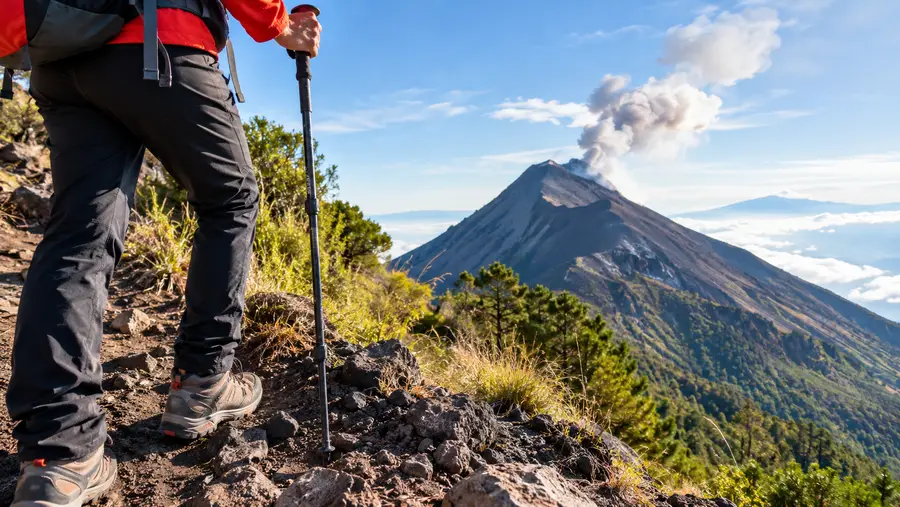
What makes people suffer is the acatenango hike elevation gain. You start climbing at 2,415 meters and haul yourself up to 3,976 meters at the true summit, known as Pico Mayor. That is over 1,500 meters of vertical ascent over a relatively short horizontal distance. The air gets thin fast. By the time you reach 3,200 meters, your heart thumps against your ribs every time you lift a foot.
Note: Water is unavailable on the mountain, meaning you must carry at least 4.5 liters from the start, adding significant weight to your pack during the hardest uphill section.
The acatenango hike difficulty is not technical. You do not need ropes or climbing harnesses. You just need pure aerobic grit and the patience to take tiny, shuffling steps. Danish hikers I met on the trail were muttering "ja tak" under their breath like a mantra every time we hit a steep switchback, trying to psych themselves up for another hundred vertical meters of volcanic gravel. You step forward two paces, and your heel slides back half a step in the talus. It wears on your calves.
If you plan an acatenango volcano overnight hike, your pack will weigh between 10 and 15 kilos with your sleeping bag, warm clothes, food, and heavy water bottles. That changes the climb from a stiff weekend walk into a serious mountain expedition.
Book your acatenango volcano hike experience:
Navigating the Camp Zones: From Base Camp to the Summit
Around four hours into the trek, the landscape shifts abruptly. You step out of the dripping moss of the cloud forest and cross into an alpine zone dominated by twisted pines and sweeping views of the valley below. This is where the trails branch out to various camp sectors. You can explore other route variations and route highlights in our detailed trail overview if you want to understand how the camps are positioned along the slopes.
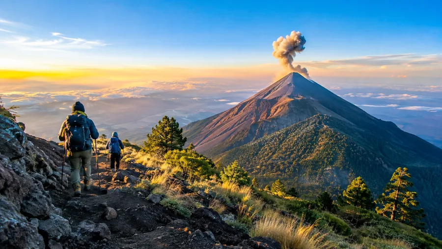
Different tour companies own distinct zones along the eastern and western shoulders. The east-facing camps give you a view of the sunrise over Guatemala City and the Agua volcano, but they hide the fiery explosions of Fuego behind the mountain ridge. The west-facing camps look straight into the throat of Fuego across a deep canyon. Sitting in camp at dusk, shivering in a thermal jacket, you will hear a deep boom like thunder rolling across the valley. Someone always yells, "y el volcán?" right before a plume of smoke and molten lava shoots two hundred meters into the air.
From the base camps, which sit around 3,600 meters, you have two choices for further exploration:
- The Fuego Ridge Extension: a punishing extra four hours out and back across the knife-edge ridge to reach Fuego's active shoulder.
- The Midnight Summit Push: waking up at 4:00 AM to tackle the final 370 vertical meters of scree up to Pico Mayor for sunrise.
- The Saddle Trail: an easier, contouring path between the two cones that avoids the worst of the loose summit rocks.
The final push to the top is the coldest part of the entire volcano acatenango hike. The wind whips across the bare volcanic dome with zero tree cover to break its speed. Temperatures drop below freezing, turning wet sweat into ice on your neck. The summit acatenango hike route is basically a steep zigzag through scree where you cannot see your own hands without a strong headlamp beam cutting through the cloud.
Is There an Easy Route up Acatenango?
The short answer is no, but some paths are definitely less brutal than others. Everyone wants an easy route when they realize how steep the La Soledad trail is. The reality of climbing an active volcanic complex in Central America is that nature does not offer gentle ramps.
There are, however, ways to ease the physical burden. You can hire a local horse handler at La Soledad to take your heavy pack up to the base camp line for about 200 to 300 quetzales. You still have to walk your own body up the slope, but shedding twelve kilos of dead weight from your shoulders makes a massive difference to your lungs and knees.
Another option is paying for a private tour that utilizes the southern 4x4 tracks. These specialized trucks bounce up rugged forestry roads to drop you off well above the agricultural fields, starting your foot trek around 2,950 meters instead of 2,400. You still hike the cloud forest and the scree, but you skip the hottest, dustiest section of the trail where most people burn through their initial energy reserves.
If you hike without a guide, staying on the main track is essential. Straying onto offshoot paths often leads to dead ends at old logging cuts or loose ravines that are prone to rockfalls during the rainy season. Stick to the well-trodden trails shown on updated topographical maps, take steady rests every twenty minutes, and do not let eager backpackers rush your cadence.
Frequently Asked Questions about acatenango hike map
Can you hike Acatenango without a guide using an offline map?
Yes, experienced hikers can legally climb the mountain independently by paying the park entrance fee at La Soledad. You will need a reliable offline GPS app like Maps.me or Gaia GPS, warm cold-weather gear, all your own water, and a sturdy four-season tent capable of withstanding high mountain winds.
Which base camp side has the best view of the eruptions?
The western and southwestern base camps offer direct, unobstructed views across the saddle to Volcán de Fuego. East-facing camps are sheltered from some wind and look out over the Antigua valley and Volcán de Agua, but you will have to walk ten to fifteen minutes along the ridge to see the nighttime eruptions.
How long does the descent take compared to the hike up?
The descent is much faster and takes between two and three hours from base camp back to the La Soledad parking lot. It is notoriously tough on the knees because the loose volcanic ash causes you to slide, so keeping your knees bent and using walking poles is critical to prevent hard falls.
Quick Reference
- Trailhead: Aldea La Soledad (2,415m)
- Summit: Pico Mayor (3,976m)
- Total elevation gain: ~1,560m
- Round trip distance: ~13.8km (8.6 miles)
Book your acatenango volcano hike experience:
The Bottom Line
Climbing this mountain is messy, cold, and one of the most rewarding things you will ever do in Central America. Once you understand the trail layout and prepare for the relentless grade, the physical grind becomes part of the story you tell afterward. Make sure you load your offline navigation files before leaving your hostel, pack more thermal layers than you think you need, and give your body time to adjust to the elevation before you take that first steep step out of the parking lot.
Read more about acatenango volcano hike.