Acatenango Volcano Hike Route Variations Highlights
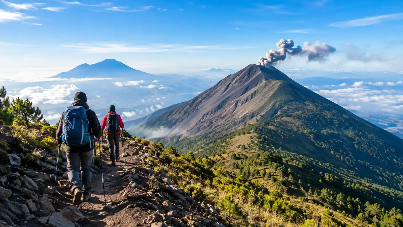
When you stare up at the double peaks from a rooftop in Antigua, pulling up an acatenango volcano hike map feels like the only logical way to calm your nerves. You see this massive stratovolcano cutting into the sky at 3,976 meters. It looks impossible from town, like a wall of dirt and jagged pines. Then you look at the lines drawn across the topographic ridges, and you realize thousands of travelers drag their tired legs up those curves every single week.
There is no single way to experience this mountain. Most people stick to the standard tourist highway, but several alternate paths, side trails, and spur ridges completely change what your legs go through. Some paths take you through dusty cornfields where farm dogs bark at your heels, while others wind through dense high-altitude dampness where lichen hangs from cypress branches like wet wool. Knowing which path matches your fitness and patience will make or break your night under the stars.
Reading the Acatenango Volcano Hike Map and Choosing Your Path
Most commercial tours stick to one well-worn trench. It is reliable, well marked by boot prints, and nearly impossible to get lost on during daytime hours. If you study an acatenango hike map carefully, you will notice subtle forks breaking off before the treeline, and these variations can offer a much quieter day on the dirt. The western switchbacks present a punishing climb, but they bypass the loudest tour crowds that gather at the lower registration shack.
I think people underestimate how much the terrain alters depending on your entry coordinate. On the lower slopes of Guatemala Acatenango, volcanic sand gives way under your boots, turning every three steps into two steps forward and one sliding step backward. Finding a trail variation with packed earth makes an enormous difference to your calf muscles. You also need to factor in whether your group intends to push toward the active saddle facing Volcan de Fuego or simply collapse at base camp with a tin mug of hot chocolate.
The table below breaks down the primary routes found on modern trekking maps, comparing their typical physical demands and trail conditions.
| Route Name | Distance (One Way) | Average Moving Time | Trail Condition | Crowd Level |
|---|---|---|---|---|
| Standard La Soledad Trail | 6.9 km | 4.5 to 6 hours | Loose ash, then packed forest dirt | High |
| Northern Farmland Spur | 7.8 km | 5 to 6.5 hours | Steep farm tracks, muddy clay | Very low |
| Fuego Saddle Traverse (Add-on) | 4.2 km round-trip | 3 to 4.5 hours | Scree, razor rock, exposed wind | Moderate |
| San Jose Calderas Approach | 8.4 km | 6 to 7.5 hours | Overgrown singletrack, fallen logs | Rarely used |
Selecting your approach depends heavily on your transport out of Antigua or Pastores. If you want a deep dive into trailheads, check our guide on Acatenango volcano hiking routes starting points to see where drivers can physically drop you off without bottoming out their vans.
Book your acatenango volcano hike experience:
The Classic Acatenango Hike Route Through Four Microclimates
The standard acatenango hike route starts with farmland before turning into a jungle, then an alpine forest, and finally a desert of gray cinder. You pay your 110 quetzales entrance fee at the trailhead booth, grab a hand-carved wooden walking stick from a kid for 10 quetzales, and immediately begin climbing a 25-degree pitch through corn patches. The sun beats directly against your neck here. It smells of fertilizer, dried bean pods, and diesel exhaust from passing chicken buses.
Around 2,600 meters, the dust vanishes. The mountain swallows you into a cloud forest full of towering ferns and ancient oak trees draped in Spanish moss. The air cools down by about 12 degrees within twenty minutes. It is strange how suddenly the environment flips on this volcano hike. Your sweat turns chilly against your shirt, and the trail narrows into a clay ditch carved out by decades of heavy rainstorms.
Pro tip: Rent two walking sticks at the base instead of one, because your knees will take immense punishment on the descent through the lower loose ash fields.
Take your time through these transitions, because your body needs the slow climb to handle the thinning air:
- Agricultural zone: Exposed, dusty terrain below 2,600 meters with zero shade and steep dirt roads.
- Subtropical cloud forest: Damp moss, cool mist, and thick mud between 2,600 and 3,100 meters.
- High alpine woodland: Towering pine trees, cold winds, and pine needle beds from 3,100 to 3,600 meters.
- Volcanic scree summit: Barren, frozen gravel completely exposed to gale-force gusts above 3,600 meters.
Alternate Tracks and Trailheads: Waar Begin Je?
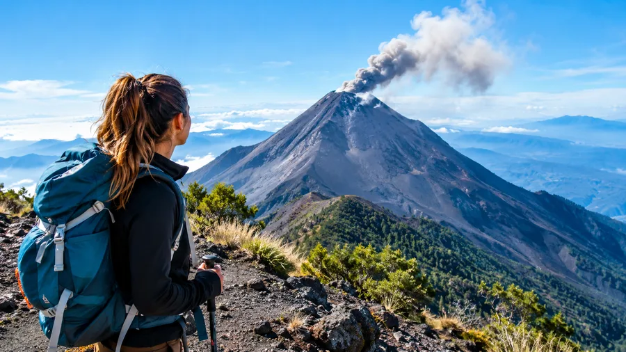
Travelers from Europe often show up asking variations of the Dutch phrase waar begin je, wondering where on earth to actually set foot on the mountain. Do you start in the busy village of La Soledad, or do you seek out quieter pastures farther north? While ninety percent of commercial groups start at the main gate in La Soledad, independent hikers sometimes opt for dirt paths climbing out of Aldea El Soledad or the sleepy outskirts of San Jose Calderas.
The alternate approaches offer solitude that feels rare on modern Acatenango. On the standard track, you hear portable Bluetooth speakers blasting reggaeton from various guided groups every few bends. On the eastern back trails, it is just the wind through the pines and the occasional pack horse plodding past. You do need offline navigation files loaded on your phone, because cattle trails cross the footpath constantly, and a wrong turn can send you down a ravine toward private bean fields.
The trade-off is steepness. The back routes cut straight up fall lines instead of offering gentle switchbacks. Your calves will burn constantly. Honestly, unless you have solid backcountry experience, wrestling with overgrown briars while carrying five liters of drinking water gets miserable quickly.
Pushing Past Base Camp: The Fuego Saddle Traverse
Reaching base camp is only the halfway mark if you plan on visiting the active beast next door. Once you drop your heavy rucksack into a canvas shelter around 3,600 meters, your guide will ask who wants to hike across to Volcan de Fuego. The map shows this traverse as a modest dip, but do not let that shallow contour deceive you. It drops roughly 300 meters into a razor-thin saddle before climbing right back up the active flank of the earth's most violent show.
The ground here is entirely loose black scree. You slide with every step, and the sulfur smell burns your nostrils. You can check the hard numbers on our page about difficulty, distance, and elevation gain on Acatenango to understand why this bonus section breaks so many spirits. If you tackle it, you will likely return to your camp well after dark, guided only by the bobbing beams of your headlamps and the fiery red bursts illuminating the night sky.
Note: Guides will cancel the Fuego traverse without warning if wind speeds pick up or if ash plumes blow directly toward the knife-edge trail.
Watching molten rock splatter against cold night air from two hundred meters away is something you never forget. It roars like a freight train crashing through concrete. The ground vibrates inside your chest. If you have any gas left in the tank, take that trail extension. Just pack an extra liter of water and a warm shell, because when the wind rips through that saddle, temperatures plunge below freezing in minutes.
Book your acatenango volcano hike experience:
Key Landmarks and Viewpoints Along the Route
Marking your progress by trail landmarks keeps you sane during the long trudge. The climb feels endless when you only look at your boots, so having clear markers on your mental map breaks the day into manageable bites. You stop thinking about the three thousand feet of elevation remaining and start focusing on the next wood shelter or flat rest rock.
Here are several natural milestones that indicate you are making solid progress up the mountain:
- The entrance register: A wooden tin-roof shed where permits are checked and walking sticks are rented.
- First snack rest: A flat clearing roughly 90 minutes in, where local women sell oranges, chocolate bars, and warm tea.
- The cloud forest gate: A distinct wooden fence line marking the transition into dark, humid woodland trails.
- El Conejito clearing: A wide dirt turn-out at 3,300 meters offering the very first clear look toward Lake Atitlan.
- The saddle junction: The high trail fork where the path splits between the summit cone and the campsite ridge.
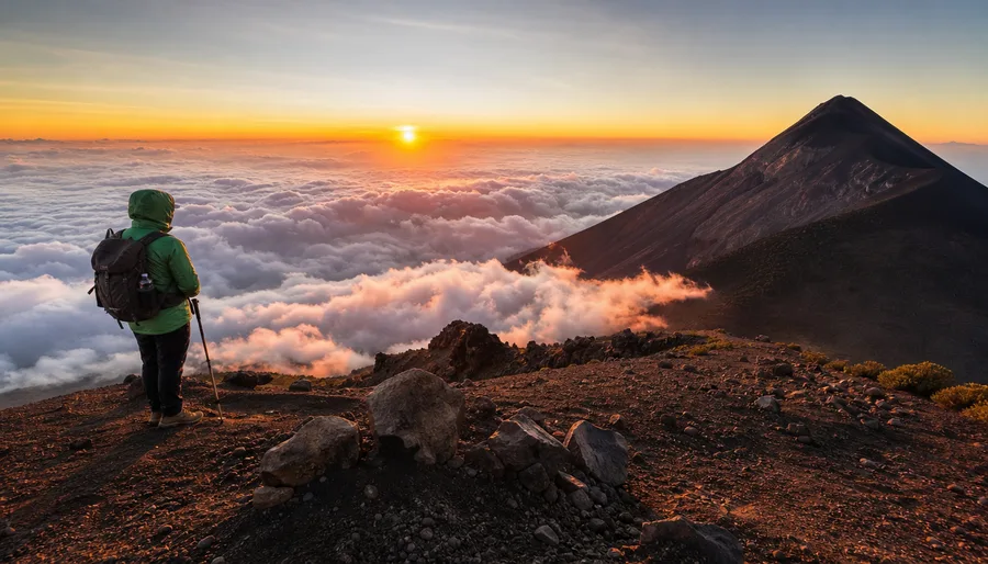
The final push to the actual summit happens at 4:00 AM the following morning. It is a grueling, freezing scramble up a 35-degree scree slope known as the sand dunes. You slip backward half a step for every stride. When you crest that outer crater rim right as the sun cracks the horizon over Agua Volcano, every ounce of misery evaporates.
Pacing, Energy, and How Long is Acatenango Hike
People constantly ask how long is acatenango hike before they book their transport. The answer depends heavily on your acclimatization in Antigua and how much weight rests on your shoulders. A guided hiker carrying only a daypack with three liters of water usually hits base camp in five hours. Carry full winter camping gear, a four-season tent, and cooking gas, and that time easily balloons to seven or eight hours of heavy slogging.
Hydration changes everything on this volcano hike. The air dries out your throat quickly as you pass 3,000 meters, and altitude sickness often disguises itself as simple fatigue before hitting you with blinding nausea. Drink water on a strict schedule, perhaps three large gulps every fifteen minutes, regardless of whether you feel thirsty. Mix electrolyte powders into at least two of your water bottles.
I suggest resting before you feel exhausted. Taking forty-second breathers standing up helps keep your heart rate under control far better than collapsing onto a log for twenty minutes. When you sit down for long stretches, your sweaty base layers cool off, your quadriceps tighten up, and starting again feels like walking on wooden legs.
Navigating the Acatenango Volcano Hike Map in Low Visibility
Weather on the peaks of Guatemala Acatenango shifts violently. You can begin under clear blue skies in the morning, only to find yourself engulfed in dense white mist by 1:00 PM. Fog rolls across the western slopes so fast that visibility drops to under ten meters, erasing the horizon and making distant ridges vanish entirely.
Under these conditions, an accurate acatenango volcano hike map saved offline on a GPS application is essential. Several false trails peel off into dangerous drainage gullies. These gullies look like gentle paths at first, but they eventually drop off into vertical rock faces washed out by wet-season torrents. Always stick to the main ridge trails where you can see the distinctive yellow ribbons or spray-painted arrows left on pine trunks by local rescue associations.
Batteries drain at twice their normal speed in the thin, cold air up near base camp. Keep your phone or handheld GPS receiver inside an interior pocket close to your chest heat. If your navigation device dies while wandering the unmarked volcanic flats above 3,500 meters, finding the tent lines in a driving rainstorm becomes a genuine survival emergency.
Book your acatenango volcano hike experience:
Frequently Asked Questions about acatenango volcano hike map
Can you hike Acatenango without a guide using an offline map?
Local municipality rules technically require all hikers to register with an accredited local guide at the La Soledad checkpoint. Independent trekkers with backcountry permits are occasionally allowed through if fully equipped, but having a digital acatenango volcano hike map does not exempt you from local park regulations.
Where does the standard Acatenango route begin?
The vast majority of hikers start at the official trailhead in the village of La Soledad, situated about an hour drive west of Antigua. There is a registration office, secure parking, and basic gear rental shops clustered around the dirt trailhead.
How long does the entire trek take from start to finish?
Most travelers do an overnight trip lasting roughly 24 hours total. You hike about 5 to 6 hours up to base camp on day one, spend the evening watching Fuego erupt, hike 1.5 hours to the summit at sunrise, and descend the entire mountain in about 3 hours on day two.
Quick Reference
- Trailhead elevation: 2,400 meters (7,874 ft)
- Summit peak: 3,976 meters (13,044 ft)
- Total distance: roughly 13.8 kilometers round-trip
- Park entry fee: 110 Quetzales per person
My Take
You can stare at topographic contour lines on your screen for weeks, but nothing quite prepares your legs for the grind of this mountain. It is dusty, steep, cold, and uncomfortable. Yet the moment you sit outside your tent at night, shivering inside your down jacket while Fuego shoots rivers of glowing orange lava into the black sky, every blister makes total sense. Pack warm layers, keep a map handy so you know how far the next ridge lies, and take the climb one slow step at a time.
Read more about acatenango volcano hike.