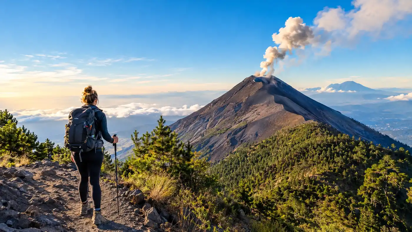
Acatenango Volcano Hiking Overview Routes Difficulty Highlights
Before booking a shuttle out of Antigua, almost everyone asks the same question: how hard is acatenango hike when your legs are tired and your lungs hit 11,000 feet? The short answer is that it punishes your calves right out of the gate, but thousands of regular backpackers finish it every single week. You do not need alpine mountaineering experience to stand on the rim, yet treating it like a casual afternoon stroll will leave you stranded on a scree slope questioning your life choices.
Guatemala has plenty of peaks, but trekking acatenango has turned into a rite of passage for travelers in Central America. You hike through four distinct climate zones, haul your own layers through loose volcanic dirt, and spend the night watching Volcan de Fuego throw glowing red magma into the freezing pitch-black sky. Here is an honest, boots-on-the-ground look at the route, the terrain, and what your body is actually in for.
Book your acatenango volcano hike experience:
Realistic Breakdown: How Hard Is Acatenango Hike for Average Hikers?
If you ask five people about acatenango hike difficulty, you will get five wildly conflicting answers. A marathon runner will tell you it was an easy morning jog with a heavy pack. A traveler who spent the last month drinking beer at Lake Atitlan might call it the most miserable twenty-four hours of their adult life. Honestly, the truth sits somewhere right in the middle.
The first hour is an immediate slap in the face. You leave the trailhead near La Soledad and instantly start grinding up through dusty farmland on loose dirt that feels like dry beach sand. For every two steps forward, your boots slide back half a step. Your heart rate spikes to 160 beats within twenty minutes, and this is where most people begin to panic about whether they can complete the climb. The secret is simple: slow down your pace until it feels almost comical.
What makes the guatemala volcano hike difficulty feel so intense is not technical climbing. You never need ropes, you never scramble over exposed knife-edge cliffs, and the trail is wide enough to walk comfortably. The difficulty comes down to relentless, uninterrupted incline combined with the thinning air. Your pack weighs around 18 or 25 pounds once you add four liters of water, warm jackets, and extra socks. Carrying that weight straight uphill for six hours wears down your mental stamina more than your physical body.
Pro tip: Rent two wooden trekking poles from the local kids at the trailhead for 5 or 10 quetzales. Those cheap bamboo sticks save your knees on the descent and take roughly 20 percent of the strain off your quads on the way up.
Trail Stats: Acatenango Hike Distance and Elevation Gain
Let us talk numbers, because vague descriptions help nobody. The standard acatenango hike distance sits right around 13.8 kilometers round trip if you stick to the classic trail to base camp and the morning summit. If you decide to add the brutal spur across the knife-ridge to Volcan de Fuego, you will tack on another 8 kilometers of punishing elevation changes.
The total acatenango elevation gain is roughly 1,600 meters (about 5,250 feet) from the trailhead gate up to the main crater peak. You start hiking at roughly 2,400 meters above sea level and top out at an acatenango height of 3,976 meters (13,044 feet). That places the final acatenango altitude well above the tree line where oxygen levels drop to about 60 percent of what you breathe at the beach. If you want a deeper look at the numbers, check out our guide on difficulty, distance, and elevation gain breakdown for trail profiles.
The table below outlines what each section of this antigua volcano hike actually looks like in terms of timing, incline, and effort:
| Trail Section | Distance | Elevation Range | Average Time | Terrain Type |
|---|---|---|---|---|
| Agricultural Farmland | 2.1 km | 2,400m - 2,750m | 75 - 90 mins | Loose soil, deep sand ruts |
| Cloud Forest (Bosque Nuboso) | 3.4 km | 2,750m - 3,250m | 100 - 120 mins | Damp dirt, tree roots, steps |
| High Alpine Forest | 2.8 km | 3,250m - 3,600m | 60 - 80 mins | Packed trail, pine needles |
| Base Camp Traverse | 1.5 km | 3,600m - 3,700m | 35 - 45 mins | Relatively flat scree path |
| Final Summit Push | 1.2 km | 3,700m - 3,976m | 60 - 75 mins | Steep volcanic cinder, freezing wind |
How long does it take to hike acatenango? Most guided groups take between 5 and 7 hours to reach base camp at a steady, conversational pace. The early morning push from base camp to the highest crater takes roughly an hour, while sliding back down to the trailhead on day two takes only 2.5 to 3.5 hours.
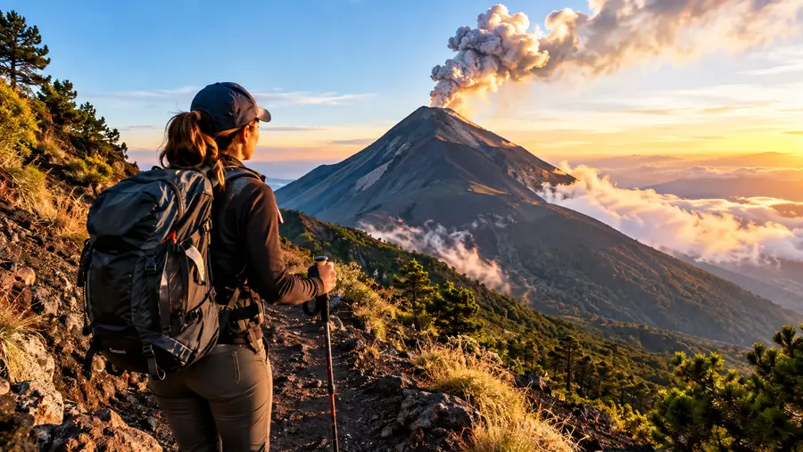
The Four Trail Zones on Volcano Acatenango
The environment transforms drastically as you climb volcano acatenango. Understanding these distinct zones helps you break the climb into manageable psychological checkpoints instead of staring up at an endless mountain.
- The Farmland: Steep agricultural fields planted with corn and peas, offering zero shade and endless loose dust that gets into your eyes and mouth.
- The Cloud Forest: Mossy old-growth trees draped in vines, bringing cooler damp air, damp root-stairs, and welcomed relief from the direct morning sun.
- The Alpine Pine Belt: High-altitude pine forest where the trees thin out, temperatures drop sharply, and the first breathtaking views of the surrounding valleys open up behind you.
- The Volcanic Cinder Cone: Barren, wind-scoured black gravel above the tree line where sulfur smells drift across the ridge and plant life vanishes entirely.
Entering the cloud forest brings genuine relief. The air cools down by ten degrees, the path firms up under ancient roots, and the sound of birds replaces the heavy breathing of hikers suffering through the dust fields. It was here that I finally felt like I was on a wilderness mountain rather than walking up a dusty farm track.
Once you clear the pine belt, the trail flattens out into an easy traverse. You will catch your breath for forty minutes as you wrap around the volcano's shoulder toward the camp clearings. This traverse delivers the first unforgettable visual reward: the smoking black cone of Fuego standing directly opposite your ridge, rumbling with low bass vibrations that rattle your chest.
Book your acatenango volcano hike experience:
The Optional Fuego Ridge: Volcan de Fuego Hike Difficulty
After reaching base camp around 3:30 PM, your guide will ask a critical question: who wants to hike to Fuego? This is an extra excursion that branches off toward the saddle separating the two peaks. Do not take this decision lightly.
The fuego volcano hike difficulty is substantially harder than the main trail up Acatenango. To get there, you must descend 300 meters into a steep ravine and immediately climb 300 meters up an exposed ridge of razor-sharp volcanic slag. Once you reach the safe viewing ridge, you sit near an active vent, watch lava fountains shoot 300 feet into the dark sky, and then - exhausted and freezing - you must hike all the way back down into the ravine and back up to base camp by headlamp.
Note: Going to the Fuego ridge adds roughly four to five hours of strenuous hiking at night. If you were struggling with altitude sickness or muscle cramps on the way to base camp, skip it and watch the eruptions safely from your tent.
When you combine them, the acatenango and fuego hike difficulty rivals some of the toughest multi-day routes in South America packed into a single 24-hour sprint. Your knees will ache, your toes will bang against the front of your boots, and your socks will fill with dark volcanic sand. Yet watching a fiery explosion blast outward from just a few hundred yards away makes every bit of suffering vanish instantly.
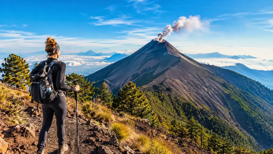
Managing Acatenango Altitude and Cold
Physical fitness is only half the battle on an antigua volcano hike. The acatenango volcano hike altitude stops plenty of fit athletes in their tracks because altitude does not care how many miles you run on a treadmill. Proper acclimatization before leaving Antigua is non-negotiable if you want to avoid nausea, throbbing temples, and crushing fatigue.
- Acclimatize in Antigua: Spend at least 48 to 72 hours wandering the cobblestone streets at 1,500 meters before starting your trek up the peak.
- Sip water constantly: Aim for four liters throughout the day, drinking small sips every ten minutes rather than chugging a whole bottle at rest stops.
- Pack real winter clothing: Temperatures at base camp plunge below freezing at night, often hovering between 20 and 30 degrees Fahrenheit with howling mountain winds.
- Take altitude medicine early: If you use Acetazolamide (Diamox), begin your dosage the day before rather than waiting until your head already hurts at high camp.
Many travelers pack light because Central America is warm, only to spend the night shivering in a cheap sleeping bag. You need thermal underwear, a proper down jacket, a beanie, and windproof gloves. Wind chills on the final summit push at 4:30 AM can numb your fingers in three minutes if you take your gloves off to take a smartphone photo. We break down the medical realities and acclimatization steps in our guide to altitude safety tips.
Is the acatenango hike hard when you are warm and well-hydrated? Yes, but it becomes an exhilarating adventure rather than an ordeal. Pacing yourself alongside an experienced local guide turns an intimidating volcanic wall into a series of achievable gravel switchbacks.
Frequently Asked Questions about how hard is acatenango hike
How long is acatenango hike from start to finish?
The standard round-trip trek covers roughly 13.8 kilometers (8.5 miles) over two days. Most groups spend 5 to 7 hours hiking to base camp on day one, one hour reaching the summit at sunrise on day two, and about 3 hours walking back down.
Can a beginner hiker complete the acatenango volcano hike?
Yes, beginners with reasonable cardiovascular fitness finish the hike every day. You do need patience, decent walking shoes, warm clothing, and the mental grit to push through steep sections when your legs get tired.
What is the hardest part of the entire trek?
Most hikers find the very first hour through the loose farmland scree and the final 45-minute summit push on frozen gravel to be the most physically demanding sections of the entire route.
Quick Reference
- Trailhead elevation: 2,400 meters
- Summit elevation: 3,976 meters
- Total distance: 13.8 km round-trip
- Base camp night temp: -2°C to 4°C
Book your acatenango volcano hike experience:
Is It Worth It?
Standing on the windswept ridge before dawn while Volcan de Fuego roars in the distance changes your perspective entirely. Your legs will burn, your throat will taste like dry volcanic dust, and your fingers might feel numb in the mountain air. Yet sitting by a campfire above the cloud layer with hot cocoa makes every single steep switchback worth the effort. Book a reputable guide, take your time on the lower slopes, and respect the mountain from the very first step.
Read more about acatenango volcano hike.