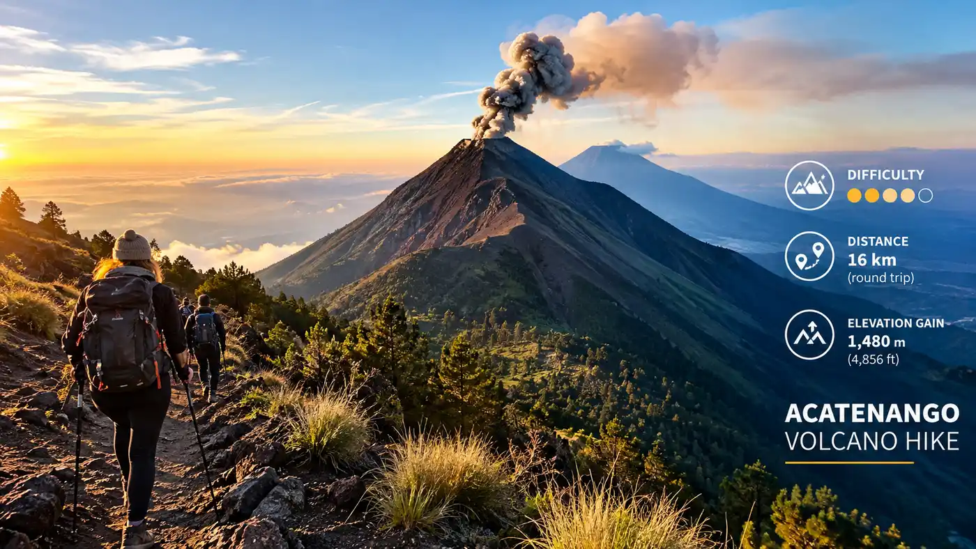
Difficulty Distance Elevation Gain on Acatenango
Nobody warns you about the first twenty minutes. You step out of the minibus in the dusty village of La Soledad, adjust your shoulder straps, and stare straight up at a dirt track cutting through loose agricultural terraces. Within five minutes, your calves are on fire and you realize the acatenango hike elevation gain is not some gradual mountain incline where your body eases into the rhythm. It starts steep, stays steep, and demands steady respect from the very first step.
Most travelers arrive in Antigua Guatemala with a vague idea that Acatenango volcano is tall and challenging. They know there are spectacular views of Volcán de Fuego spitting molten lava across the saddle at night, but they rarely study the topography before tying their laces. Understanding the real numbers - the vertical ascent, the total mileage, the thinning air above 3,500 meters - changes how you pack, how you pace your climb, and whether you actually enjoy the summit morning or spend it nursing a raging altitude headache.
Book your acatenango volcano hike experience:
Breaking Down the Acatenango Hike Elevation Gain and Summit Height
The numbers sound clean on paper, but mountain geometry feels much harsher under your boots. The official acatenango summit elevation reaches 3,976 meters above sea level, which is roughly 13,044 feet. That makes it the third-highest peak in Central America. When you stand in the cobblestone plazas of Antigua, you sit around 1,530 meters. The mountain towers nearly 2,500 vertical meters above the valley floor, dominating the western skyline alongside Volcán de Agua.
Your trek does not begin down in Antigua, thankfully. Tour vans drive you up winding mountain roads through San Andrés Itzapa to the trailhead at La Soledad, situated at an elevation of 2,420 meters (7,940 feet). That leaves you with an exact vertical climb of 1,556 meters - roughly 5,105 feet of vertical gain - to reach the absolute summit cone. If you measure just the trek to base camp where tents and wooden cabins sit perched facing Fuego, you will conquer roughly 1,180 vertical meters on day one.
That is an intense climb for a single afternoon. To put that into perspective, you are gaining nearly 1,200 meters of elevation across a horizontal walking distance of less than 6 kilometers. It means you are constantly stepping upward at gradients often exceeding 25 to 30 percent. There are virtually no flat stretches where your quadriceps can rest, save for a gentle 15-minute traverse through high alpine forest right before you round the ridge toward the campsites.
Pro tip: Rent two wooden walking sticks from the local kids at the trailhead for 10 or 15 quetzales. They look like simple tree branches, but having two contact points will save your knees about thirty percent of the downward impact on the descent.
The air starts thinning noticeably once you push past 3,000 meters. Every lungful of oxygen delivers roughly thirty percent less usable gas than at sea level. Your heart rate sits high even when taking slow steps, which makes managing your internal tempo far more critical than raw leg strength. If you want to dive deeper into dealing with the thin air, checking our guide on safety altitude tips for acatenango hike will help you prep before booking.
Trail Distance: How Many Miles Is the Acatenango Volcano Hike?
Trail length confuses a lot of hikers because GPS watches often lose satellite lock in the dense cloud forest, and switchbacks make horizontal mapping look shorter than reality. The standard one-way distance from the registration hut at La Soledad up to the high ridge camps is approximately 5.8 kilometers (about 3.6 miles). Pushing from base camp up to the jagged summit adds another 1.4 kilometers of steep scree walking.
The total round-trip distance for the standard Acatenango trek sits at roughly 14.4 kilometers, or about 8.9 miles. That might sound modest to anyone used to walking long distances on weekend strolls. Eight miles across flat park trails takes two or three hours. On Acatenango, those same miles take seven to nine hours of grueling, deliberate physical labor split across two days.
| Trail Stage | Distance (km / mi) | Elevation Gain | End Altitude | Average Time |
|---|---|---|---|---|
| Trailhead to Cloud Forest Gate | 1.8 km / 1.1 mi | +390 m (1,280 ft) | 2,810 m | 70 - 90 mins |
| Cloud Forest to Alpine Tree Line | 2.6 km / 1.6 mi | +510 m (1,673 ft) | 3,320 m | 2 - 2.5 hours |
| Tree Line Traverse to Base Camp | 1.4 km / 0.9 mi | +280 m (918 ft) | 3,600 m | 60 - 80 mins |
| Base Camp to Acatenango Summit | 1.4 km / 0.9 mi | +376 m (1,233 ft) | 3,976 m | 75 - 90 mins |
| Optional Ridge Walk to Volcán de Fuego | 4.5 km / 2.8 mi (rt) | +450 m / -450 m | 3,760 m | 4 - 5 hours |
If you choose to tackle the extra trek across the saddle to Volcán de Fuego in the afternoon, your mileage jumps dramatically. That side trip adds at least 4.5 kilometers round trip, along with a gut-wrenching drop into a 300-meter ravine and a climb right back out on both legs of the journey. Many hikers who tack on Fuego end their first day clocking over 11 miles with roughly 1,700 meters of cumulative climbing.
Downhill travel eats up ground much faster. The return from the summit back down past camp to the waiting vans in La Soledad takes between two and a half to three and a half hours. Your knees bear the full brunt of all that elevation loss on loose pumice rock, turning the descent into a slide-and-catch game that tests your stability.
How Hard Is the Acatenango Volcano Hike Really?
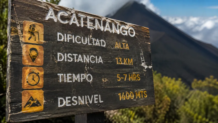
The difficulty level of Acatenango sits somewhere between strenuous mountain hike and intro-level mountaineering experience. You do not need technical climbing gear, ropes, or crampons, but calling it a casual trek is irresponsible. It breaks strong hikers every single weekend.
- The relentless incline: There are virtually zero warm-up stretches, and the angle of the trail rarely relents until you reach the contour line near 3,500 meters.
- Loose volcanic scree: Locales call it la pica pica, a fine volcanic sand and pea gravel that slips backward three inches for every foot you step forward on the summit push.
- Thermal shock: You start hiking in warm 22°C (72°F) sunshine through dusty bean fields and sleep in freezing temperatures dipping below -2°C (28°F) on exposed ridge tents.
- Heavy pack burden: Carrying four liters of water, warm layers, camera gear, and snacks adds eight to ten kilograms to an already brutal vertical battle.
Weather plays a massive role in how brutal the day feels. During dry season mornings between November and April, clear skies make the climb warm and dusty. When rain rolls in during July or August, the lower clay paths transform into slick mud slides where footing turns treacherous and your energy burns twice as fast.
Note: Some tour operators promote the trek as suitable for anyone with basic fitness, but that is overly optimistic marketing. If you live at sea level and never do sustained cardio or uphill stair climbing, this trail will push you straight to your physical limits.
Mental stamina matters just as much as leg conditioning. You spend hours looking at your own boots, listening to your heavy breathing, wondering why on earth you paid someone to make you walk up a gravel pile in the fog. But then the cloud inversion breaks, the orange glow of twilight lights up the horizon, and Fuego blasts a shockwave of red rock against a purple sky. The pain evaporates instantly.
Book your acatenango volcano hike experience:
Stage-by-Stage Breakdown: From Farmland to the 3,976m Summit
The first stage winds through private farmland. Locals cultivate corn, peas, and root vegetables on steep hillsides that would be considered unworkable in most corners of the world. The ground here is pulverized volcanic loam that creates thick clouds of dust when dry. It is hot, unshaded, and mentally demoralizing because you can still hear chicken coops and car horns down in the village while feeling completely winded.
Around 2,800 meters, you pass a rustic park shelter and enter the cloud forest. The climate changes immediately. The air cools down by five or six degrees, giant cypress trees draped in bromeliads shield you from the baking sun, and the path narrows into humid dirt switchbacks. This is the longest sustained section of the climb. It feels endless, but the moist earth actually offers better traction than the loose dirt below.
Breaking through the cloud forest brings you into the sub-alpine dwarf pine zone near 3,400 meters. The trees shrink, the winds pick up, and the views suddenly crack open. If you have clear weather, you can look out across the valley toward Lake Atitlán and the chain of volcanoes stretching toward Mexico. The trail levels out into a sweeping traverse that traces the northeastern slope of Acatenango until you turn a corner and suddenly face the smoking crater of Fuego directly across the valley.
The summit push happens in total darkness around 4:15 in the morning. Hikers leave base camp wearing headlamps, gloves, and every warm layer they carried. This final push covers roughly 376 vertical meters over 1.4 kilometers of loose grey scree. It is notoriously cold, frequently windy, and utterly relentless. You take twenty small steps, pause over your poles to gasp for oxygen in the sub-zero air, and repeat the process until the ground flattens out into the rim of the ancient crater just as dawn splits the sky.
Fitness Preparation: Can a Beginner Hike Acatenango?
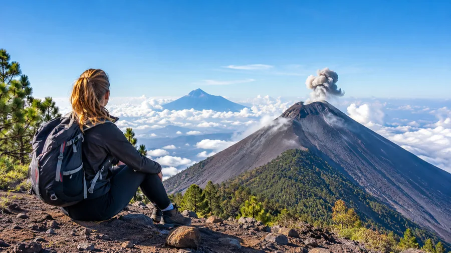
Can a beginner make it up? Yes, hundreds do every week. But their definition of beginner makes all the difference. If you are an active runner, cyclist, or weekend gym-goer who simply lacks mountain experience, your lungs and legs will handle the effort just fine with slow pacing and smart hydration.
If you live a largely sedentary lifestyle and spend your weekends on the sofa, Acatenango will be a miserable trial by fire. You do not need to be an ultra-marathoner, but some focused conditioning in the weeks leading up to your trip makes an enormous difference. If you want a structured plan, take time to read through our guide on preparing for the acatenango volcano hike training tips before landing in Central America.
- Cardio volume: Focus on sustained, low-intensity cardio for 45 to 60 minutes three times weekly, like inclined treadmill walking or stair climbers.
- Eccentric leg strength: Do bodyweight squats, lunges, and calf raises to prepare your joints for three straight hours of pounding descent.
- Altitude acclimatization: Spend at least 48 to 72 hours hanging out in Antigua (1,530 m) or Lake Atitlán (1,560 m) before your hike instead of climbing the morning after your flight lands.
- Hydration loading: Drink three liters of water daily for two days prior to departure, because the mountain air robs moisture from your lungs before you even realize you are thirsty.
Honestly, hiring a local porter at the trailhead for roughly 200 quetzales ($26) is the smartest investment any borderline hiker can make. Letting someone carry your six-kilogram overnight pack leaves you with just a light daypack containing water and a windbreaker. It transforms a miserable, breathless slog into a challenging but genuinely fun alpine adventure.
Frequently Asked Questions about acatenango hike elevation gain
What is the total acatenango hike elevation gain from the trailhead?
The total elevation gain from the La Soledad trailhead to the Acatenango summit is 1,556 meters (5,105 feet). If you only climb to base camp and skip the sunrise summit push, you will gain approximately 1,180 meters (3,871 feet).
How high is the summit of Acatenango volcano?
The summit stands at 3,976 meters (13,044 feet) above sea level, making it the third-highest peak in Central America after Volcán Tajumulco and Volcán Tacaná.
How many miles is the Acatenango hike round trip?
The standard summit hike is approximately 14.4 kilometers (8.9 miles) round trip. If you choose to add the afternoon trek out to the ridge of Volcán de Fuego, you will add another 4.5 kilometers (2.8 miles), bringing your total distance close to 19 kilometers (11.8 miles).
How long does it take to hike to Acatenango base camp?
Most guided groups take between 4.5 and 6 hours to reach base camp from the trailhead at La Soledad, including regular rest stops every 40 minutes for food, water, and catching your breath.
Quick Reference
- Trailhead elevation: 2,420 m (7,940 ft)
- Summit altitude: 3,976 m (13,044 ft)
- Total elevation gain: 1,556 m (5,105 ft)
- Round-trip distance: 14.4 km (8.9 miles)
- Average ascent time: 5 to 6 hours to camp
Book your acatenango volcano hike experience:
The Bottom Line
Acatenango asks for a lot of sweat over a short distance, but what you get back in return is completely unmatched anywhere else in the world. Standing on a cold volcanic ridge at 3,600 meters while earth-shaking rumbles shake the ground under your sleeping bag is something you remember for the rest of your life. Respect the numbers, pack warm layers, take small steps, and give your body the time it needs to climb into the sky.
Read more about acatenango volcano hike.